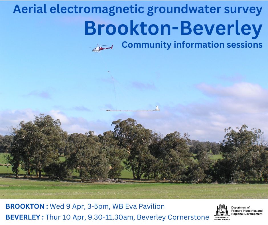
Beverley - Brookton Paleochannel Mapping Project
Thursday 10th April 2025
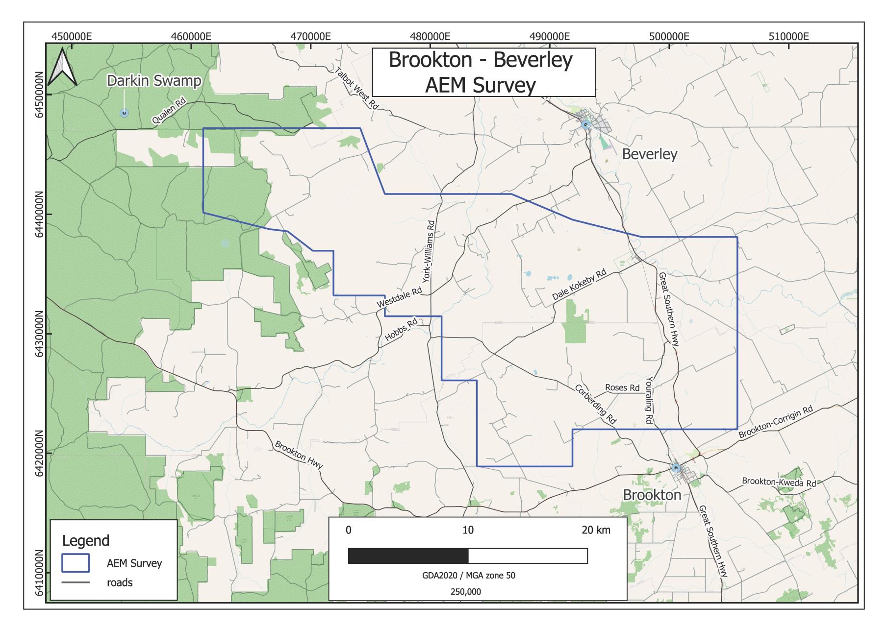
Department of Primary Industries and Regional Development (DPIRD) are working in partnership with Australia’s national science agency, CSIRO, and the local governments of Brookton and Beverley to better understand the water resources of the Brookton-Beverley palaeochannel.
A helicopter will be used to conduct an airborne electromagnetic (AEM) survey in the area between June and July 2025. The survey will help to identify groundwater resources and their suitability for agriculture and community use.
Download the fact sheet here.